A slice through the 3D map of galaxies from DESI

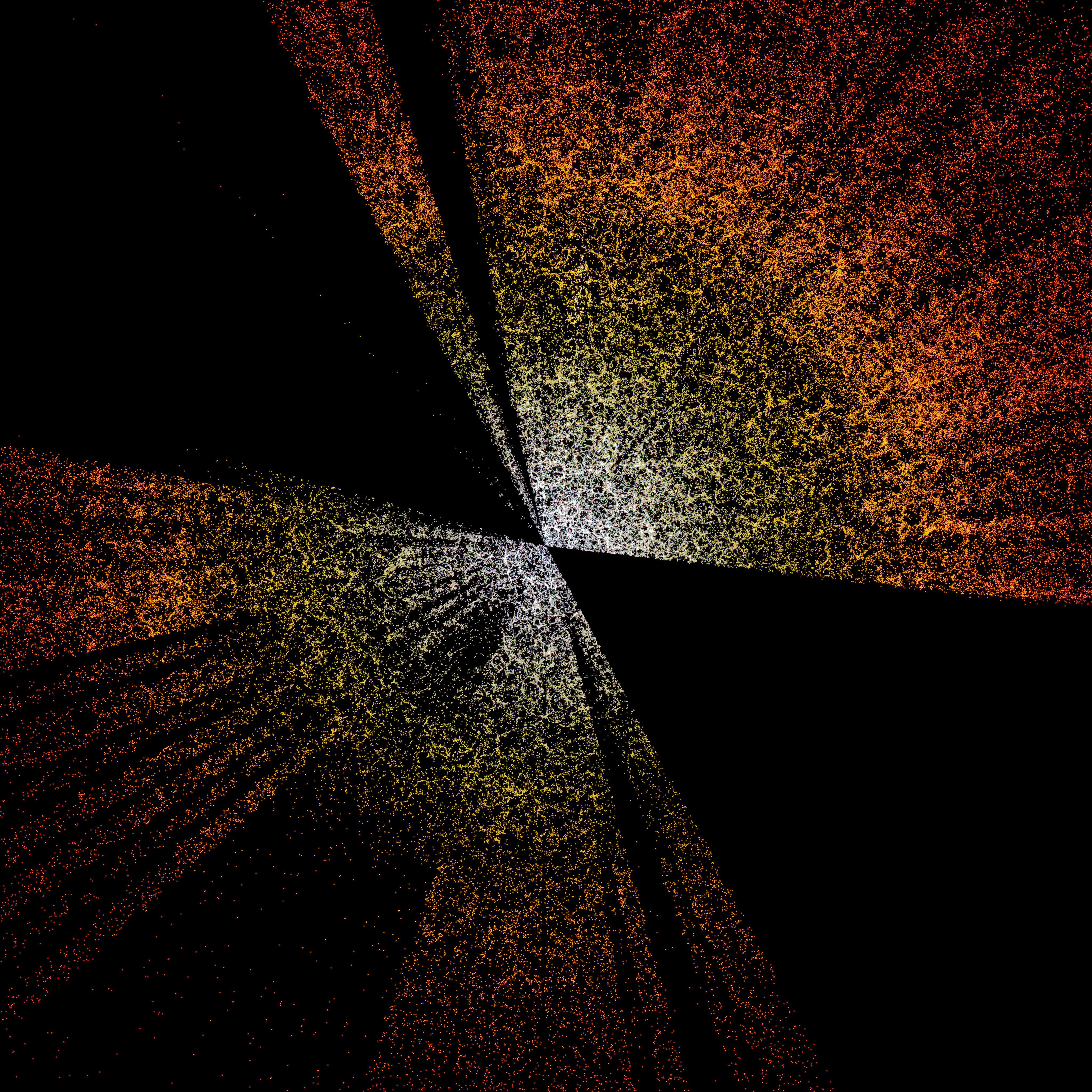
A slice through the 3D map of galaxies from the first few months of the Dark Energy Spectroscopic Instrument (DESI). The Earth is at the center, with the furthest galaxies plotted at distances of 10 billion light years. Each point represents one galaxy. This version of the DESI map shows a subset of 400,000 of the 35 million galaxies that will be in the final map.
Credit:D. Schlegel/Berkeley Lab using data from DESI
Acknowledgment: M. Zamani (NSF NOIRLab)
About the Image
| Id: | noirlab2203a |
| Type: | Artwork |
| Release date: | Jan. 13, 2022, 9 a.m. |
| Related releases: | noirlab2203 |
| Size: | 4096 x 4096 px |
About the Object
| Category: | Illustrations |